HIGH-RES, DIGITALLY BASED MAPS

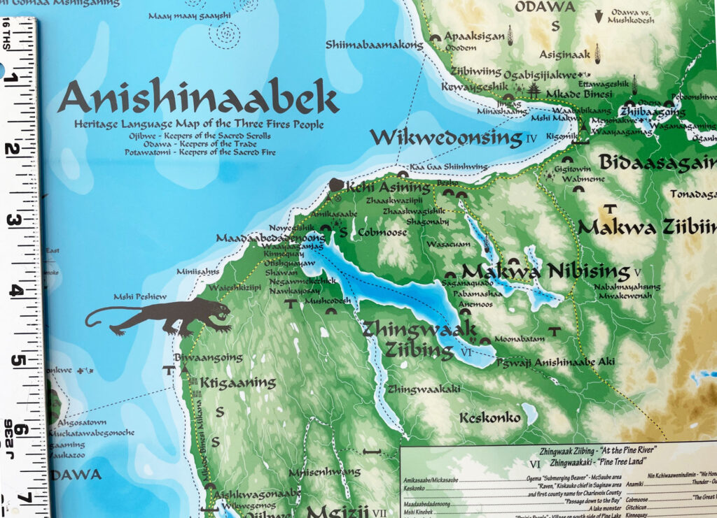
We create our maps on a proprietary digital cartographic system developed solely to publish our products. Our map images are always sharp and clear since we use vector graphics to generate our prints, which are printed at very high resolution—no jaggies here. The images of our maps on this website and in our online store are low resolution and don’t match the fine detail of our prints, but they represent the look and colors pretty well.
PAPER & PRINTING SPECS
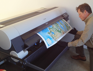
Our staff prints wall maps on demand as orders are received using wide-format high-precision inkjet printers that reproduce vivid hues and fine gradations. We use glossy resin-coated photographic papers of a minimum weight of 200 gm (that’s the equivalent of a fairly stiff paper on which photos are reproduced), which is excellent for laminating and professional mounting. Only genuine Canon inks are used in the printing process, so the prints are highly resistant to fading and near archival quality—these are not “poster maps.” In essence, these map prints are comparable to the giclee prints you purchase in an art gallery—but a lot less expensive!

POCKET MAPS

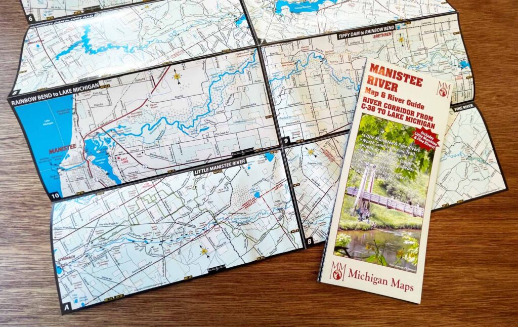
Our pocket maps are printed commercially in large quantities and inventoried items. The smaller maps, such as the Manistee River Map & River Guide pictured here are printed on resilient 100# glossy coated paper. Larger maps, such as the Northwest Michigan Pocket Map are printed on a slightly thinner, more appropriate weight of paper to allow the folding of the larger sized 36″ x 27″ sheet on which it’s printed. We do not offer laminated versions of pocket maps, but paddlers often have their pocket map laminated at a local copy shop.
